Stormsrivier
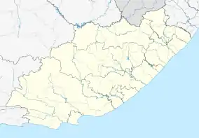
Stormsrivier is a settlement in Sarah Baartman District Municipality in the Eastern Cape province of South Africa.
Stormsrivier | |
|---|---|
  Stormsrivier 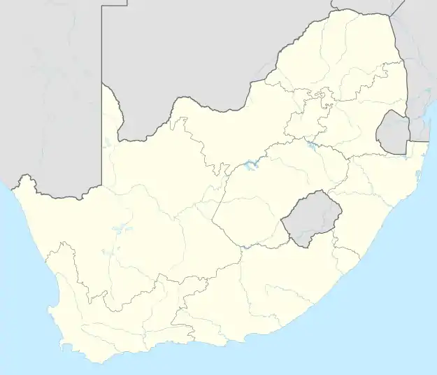 Stormsrivier | |
| Coordinates: 33.966667°S 23.883333°E | |
| Country | South Africa |
| Province | Eastern Cape |
| District | Sarah Baartman |
| Municipality | Kou-Kamma |
| Area | |
| • Total | 1.82 km2 (0.70 sq mi) |
| Population (2011)[1] | |
| • Total | 1,670 |
| • Density | 920/km2 (2,400/sq mi) |
| Racial makeup (2011) | |
| • Black African | 43.0% |
| • Coloured | 48.8% |
| • Indian/Asian | 0.1% |
| • White | 7.5% |
| • Other | 0.5% |
| First languages (2011) | |
| • Afrikaans | 58.7% |
| • Xhosa | 32.2% |
| • English | 6.4% |
| • Other | 2.8% |
| Time zone | UTC+2 (SAST) |
| PO box | 6308 |
| Area code | 042 |
The village lies just off the N2 road. The majority of the residents live in RDP housing on the outskirts of the village.[2]
References
- "Main Place Stormsrivier". Census 2011.
- "Storms River (Stormsrivier), Eastern Cape". SA Travel Directory. Retrieved 4 January 2014.
External links
 Stormsrivier travel guide from Wikivoyage
Municipalities and communities of Sarah Baartman District Municipality, Eastern Cape | ||
|---|---|---|
District seat: Port Elizabeth | ||
| Blue Crane Route | .svg.png.webp) Sarah Baartman District within South Africa | |
| Dr Beyers Naudé | ||
| Kouga | ||
| Kou-Kamma | ||
| Makana | ||
| Ndlambe | ||
| Sunday's River Valley | ||
This article is issued from Wikipedia. The text is licensed under Creative Commons - Attribution - Sharealike. Additional terms may apply for the media files.