Mahad taluka
Mahad taluka (Marathi: महाड तालुका) is a taluka in Raigad district of the Indian state of Maharashtra.[1][2]
Mahad
महाड तालुका | |
|---|---|
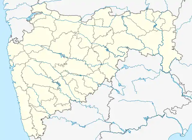  Mahad Location in the Maharashtra state of India | |
| Coordinates: 18.64°N 72.88°E | |
| Country | India |
| State | Maharashtra |
| Division | Konkan Division |
| District | Raigad |
| Headquarters | Mahad |
| Government | |
| • Body | Panchayat Samiti Mahad Raigad |
| • Chairperson | NA |
| • Tehsildar | NA |
| • MP | Sunil Tatkare (Raigad Constituency) |
| • MLA | Bharatshet Gogawale (Mahad constituency) |
| Area | |
| • Total | 1,503.61 km2 (580.55 sq mi) |
| Population (2001) | |
| • Total | 205,585 |
| • Density | 140/km2 (350/sq mi) |
| Demonym(s) | Mahadkar |
| Language | |
| Time zone | UTC+5:30 (IST) |
| PIN | 410201 |
| Telephone code | 02141 |
| Vehicle registration | MH-46, MH-06 |
Raigad district
As of August 2015, there were 8 sub-divisions, 15 talukas, 1970 villages, 60 revenue circles and 350 sazzas in Raigad district. The talukas are Alibag, Karjat, Khalapur, Mahad, Mangaon, Mhasala, Murud, Panvel, Pen, Poladpur, Roha, Shrivardhan, Sudhagad Pali, Tala and Uran.[2]
References
- "महाराष्ट्रातील सर्व तालुके - महाराष्ट्रातील सर्व जिल्ह्यांतील तालुके महसुली विभागांनिहाय जाणून घ्या". Prahar (in Marathi). 27 November 2014. Archived from the original on 22 July 2015. Retrieved 15 August 2015.
- "Details of Sub-Divisions, Tahasils, Villages, Circles and Sazzas in Raigad district". Raigad District Collectorate. Archived from the original on 14 June 2016. Retrieved 15 August 2015.
.svg.png.webp)
This article is issued from Wikipedia. The text is licensed under Creative Commons - Attribution - Sharealike. Additional terms may apply for the media files.