Jeff, Kentucky
Jeff is a census-designated place and coal town in Perry County, Kentucky, United States. Its population was 323 as of the 2010 census.[3]
Jeff | |
|---|---|
Census-designated place (CDP) | |
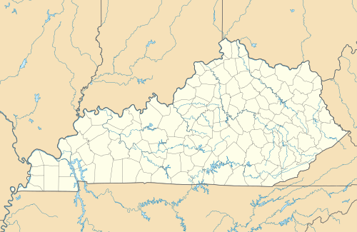  Jeff Location within the state of Kentucky 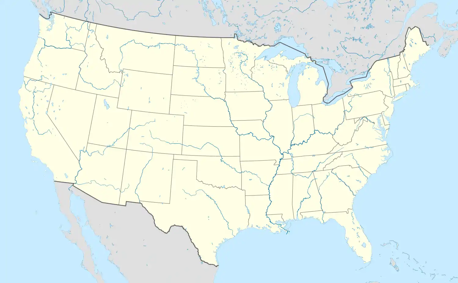 Jeff Jeff (the United States) | |
| Coordinates: 37°12′18″N 83°8′11″W | |
| Country | United States |
| State | Kentucky |
| County | Perry |
| Government | |
| • Type | Jeff |
| Area | |
| • Total | 0.79 sq mi (2.04 km2) |
| • Land | 0.76 sq mi (1.96 km2) |
| • Water | 0.03 sq mi (0.08 km2) |
| Elevation | 915 ft (279 m) |
| Population (2020) | |
| • Total | 293 |
| • Density | 387.05/sq mi (149.47/km2) |
| Time zone | UTC-5 (Eastern (EST)) |
| • Summer (DST) | UTC-4 (EDT) |
| ZIP code | 41751 |
| Area code(s) | 606 |
| FIPS code | 21-40204 |
| GNIS feature ID | 516758[2] |
A post office was established in the community in 1902 and named for the early settler Jefferson Combs.[4]
References
- "2020 U.S. Gazetteer Files". United States Census Bureau. Retrieved March 18, 2022.
- U.S. Geological Survey Geographic Names Information System: Jeff, Kentucky
- "U.S. Census website". United States Census Bureau. Retrieved 2011-05-14.
- Rennick, Robert M. (1987). Kentucky Place Names. University Press of Kentucky. p. 152. ISBN 0813126312. Retrieved 2013-07-26.
- "Census of Population and Housing". Census.gov. Retrieved June 4, 2016.
Municipalities and communities of Perry County, Kentucky, United States | ||
|---|---|---|
| Cities | 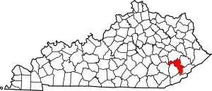 Location of Perry County, Kentucky | |
| CDPs | ||
| Other unincorporated communities |
| |
| Ghost town | ||
| ||
This article is issued from Wikipedia. The text is licensed under Creative Commons - Attribution - Sharealike. Additional terms may apply for the media files.