Conway, Michigan
Conway is an unincorporated community and census-designated place (CDP) in Emmet County in the U.S. state of Michigan. As of the 2010 census, the CDP had a population of 204.[1]
Conway, Michigan | |
|---|---|
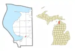 Location within Emmet County | |
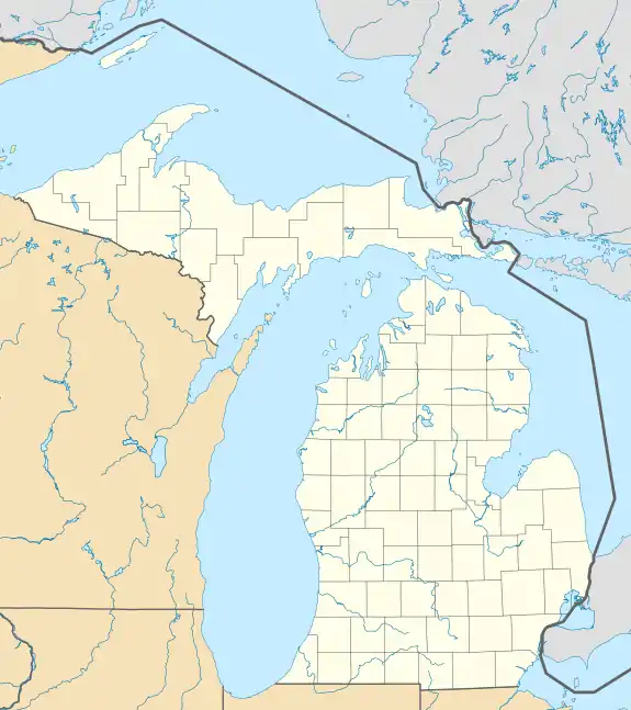  Conway Location within the state of Michigan  Conway Conway (the United States) | |
| Coordinates: 45°25′01″N 84°51′55″W | |
| Country | United States |
| State | Michigan |
| County | Emmet |
| Townships | Bear Creek and Little Traverse |
| Area | |
| • Total | 0.42 sq mi (1.1 km2) |
| • Land | 0.42 sq mi (1.1 km2) |
| • Water | 0.0 sq mi (0 km2) |
| Elevation | 603.0 ft (183.8 m) |
| Population (2010) | |
| • Total | 204 |
| • Density | 485.71/sq mi (187.53/km2) |
| Time zone | UTC-5 (Eastern (EST)) |
| • Summer (DST) | UTC-4 (EDT) |
| ZIP code(s) | 49722 |
| Area code(s) | 231 |
| FIPS code | 26-17900[1] |
| GNIS feature ID | 623717[2] |
Geography
Conway is located in southeastern Emmet County, in southeastern Little Traverse Township. A portion of the CDP extends south into Bear Creek Township. The community is at the western end of Crooked Lake. U.S. Route 31 passes through the CDP, leading southwest 6 miles (10 km) to Petoskey, the county seat, and northeast 5 miles (8 km) to Alanson.
The community of Conway was listed as a newly-organized census-designated place for the 2010 census, meaning it now has officially defined boundaries and population statistics for the first time.[3]
According to the U.S. Census Bureau, the Conway CDP has a total area of 0.42 square miles (1.1 km2), all of it land.[1]
References
- "Geographic Identifiers: 2010 Demographic Profile Data (G001): Conway CDP, Michigan". U.S. Census Bureau, American Factfinder. Retrieved February 12, 2016.
- U.S. Geological Survey Geographic Names Information System: Conway, Michigan
- "Michigan: 2010 Population and Housing Unit Counts 2010 Census of Population and Housing" (PDF). 2010 United States Census. United States Census Bureau. September 2012. p. III-5. Retrieved February 29, 2020.
Municipalities and communities of Emmet County, Michigan, United States | ||
|---|---|---|
| Cities |  Map of Michigan highlighting Emmet County.svg | |
| Villages | ||
| Civil townships | ||
| CDPs | ||
| Ghost town | ||
| Indian reservations | ||
| Historic settlements |
| |
| Footnotes | ‡This populated place also has portions in an adjacent county or counties | |
| ||