Dronne
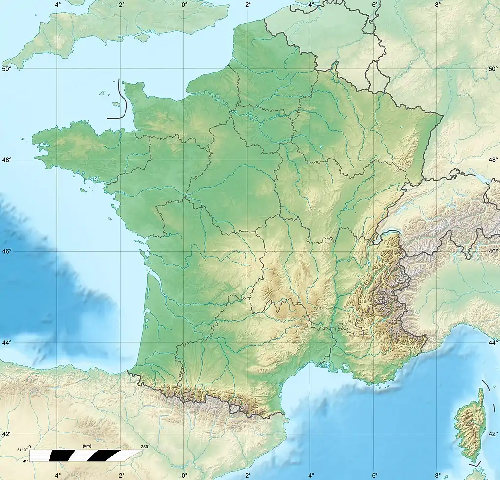
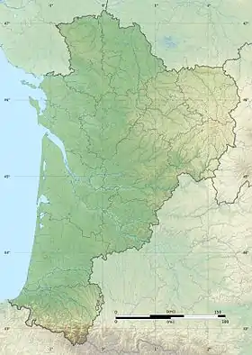
The Dronne (French pronunciation: [dʁɔn], also Drône, [dʁon]; Occitan: Drona) is a 201-kilometre (125 mi) long river in southwestern France, right tributary of the Isle.[1] Its source is in the north-western Massif Central, east of the town of Châlus (south-west of Limoges) at an elevation of 510 metres (1,670 ft). It flows south-west through the following départements and towns:
- Haute-Vienne
- Dordogne: Saint-Pardoux-la-Rivière, Brantôme, Ribérac
- Charente: Aubeterre-sur-Dronne
- Charente-Maritime
- Gironde: Coutras
| Dronne | |
|---|---|
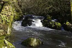 The Dronne at the rapids near Champs-Romain | |
   | |
| Location | |
| Country | France |
| Physical characteristics | |
| Source | |
| • location | Massif Central |
| • elevation | 510 m (1,670 ft) |
| Mouth | |
• location | Isle |
• coordinates | 45°2′15″N 0°8′54″W |
| Length | 201 km (125 mi) |
| Discharge | |
| • average | 25.1 m3/s (890 cu ft/s) |
| Basin features | |
| Progression | Isle→ Dordogne→ Gironde estuary→ Atlantic Ocean |
The Dronne flows into the Isle in Coutras.

This article is issued from Wikipedia. The text is licensed under Creative Commons - Attribution - Sharealike. Additional terms may apply for the media files.